Trusted by leading operations at:


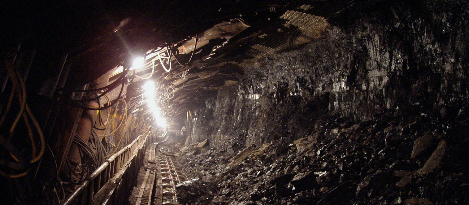
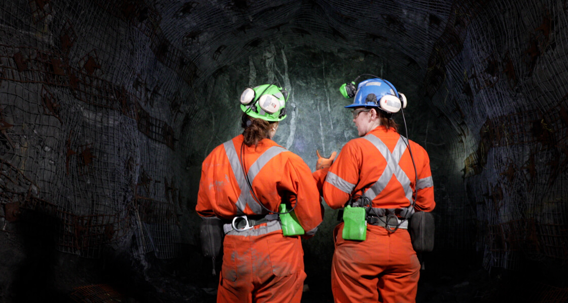
Tunnelling - Geotechnical Mapping
We're able to identify potential hazards and make data-driven decisions that improve safety and efficiency on site
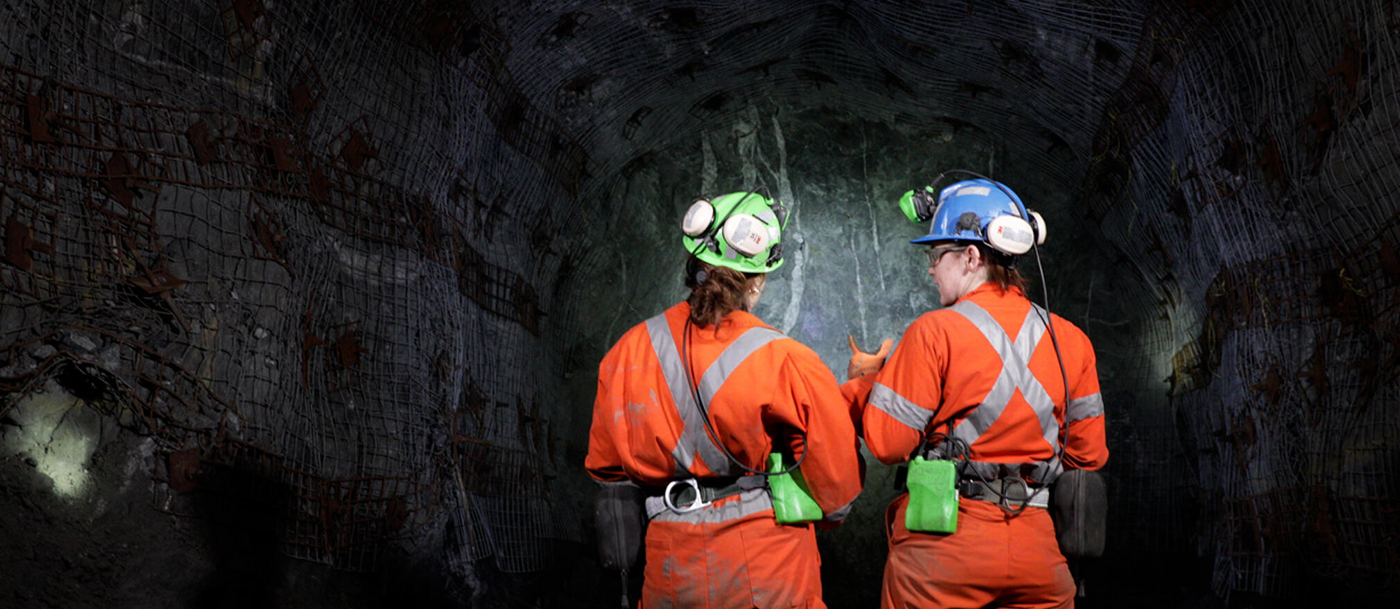
Mining - Geological Mapping
We’ve seen a massive shift in how data is collected. With tools like RockMass Eon, geologists now have access to more accurate,
real-time data without the inefficiencies of manual mapping.
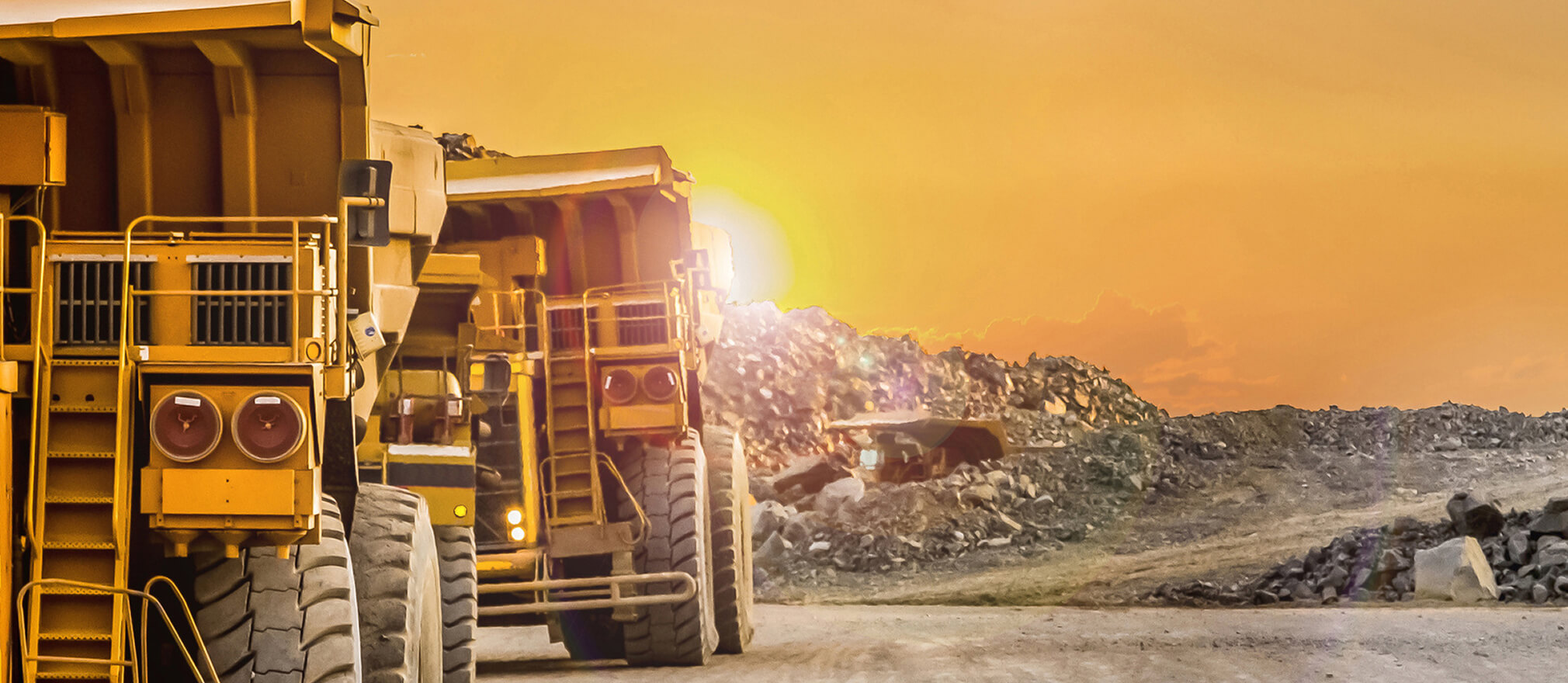
Mining - Accurate data
"Integrating geological data into Leapfrog Geo has never been easier—real-time updates ensure decisions are based on the latest, most accurate data."
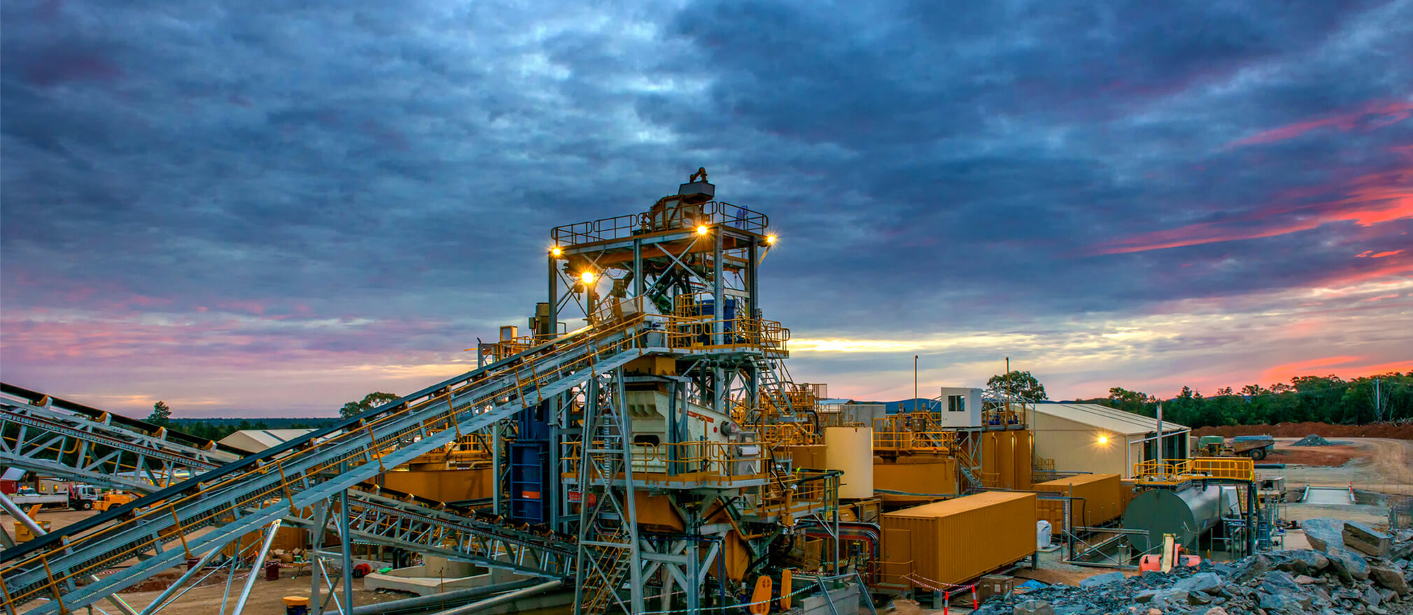
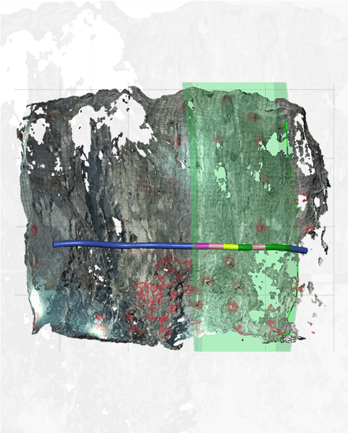
Mining - Digital Trace Mapping
Digital mapping is transforming how we work underground—
capturing more data, more accurately, in less time.”
RockMass TechTalks: Tunnelling into the Future
As a tunneling professional, I cannot understate the value of working in an iterative feedback loop with tech companies like RockMass to make sure that the solutions they're developing are useful to the practicing engineer, geologist, or field crew.
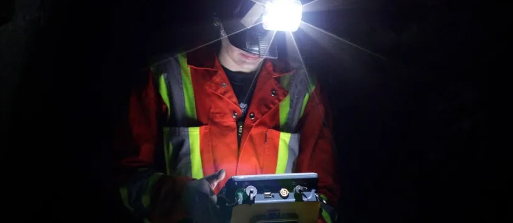
Decision-Making Underground
Mining and tunnelling are no longer data-poor industries. The winners will be those who master the art of translating unruly datasets into actionable intelligence, delivering insights to the right person, at the right time, in the right format.
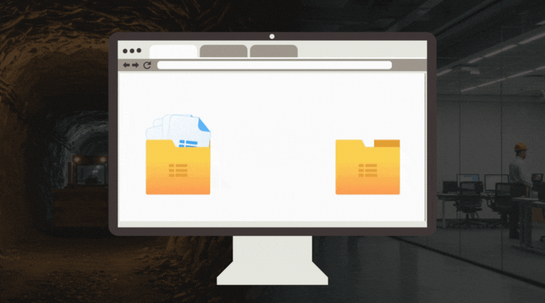
How it works
We simplify the process of turning your point cloud data into high-quality geological and geotechnical maps, so you can focus on making informed decisions without the hassle

We assess your mapping requirements compatibility with our “mapping workflows
We make it easy to share your point cloud datasets with us securely and efficiently, ensuring data integrity during the transfer process.
We process your point cloud data to extract highly accurate geological and/or geotechnical features based on your needs to reduce manual effort and ensure high-quality mapping.
We deliver ready-to-use mapped datasets in formats compatible with your software, ensuring seamless integration into your workflows.
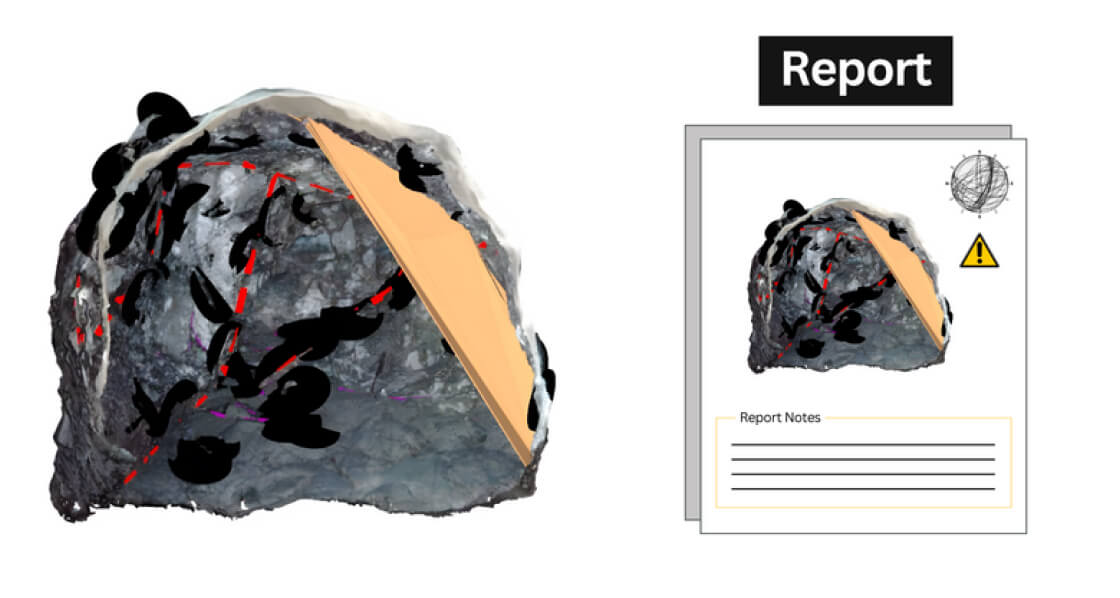
Why Point Cloud Mapping Service
We deliver an expert mapping service that reduces your time spent processing heavy datasets and simplifies data so you can focus on analysis and decisions.
98
%
Reduction in manual mapping errors.
10
.000
gb
Mapped Point
clouds data
50
%
Faster integration into resource models.
Solutions and capabilities
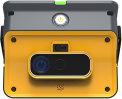
RockMass Eongeoreferences data underground, eliminating gaps and providing the clarity needed for critical decisions.
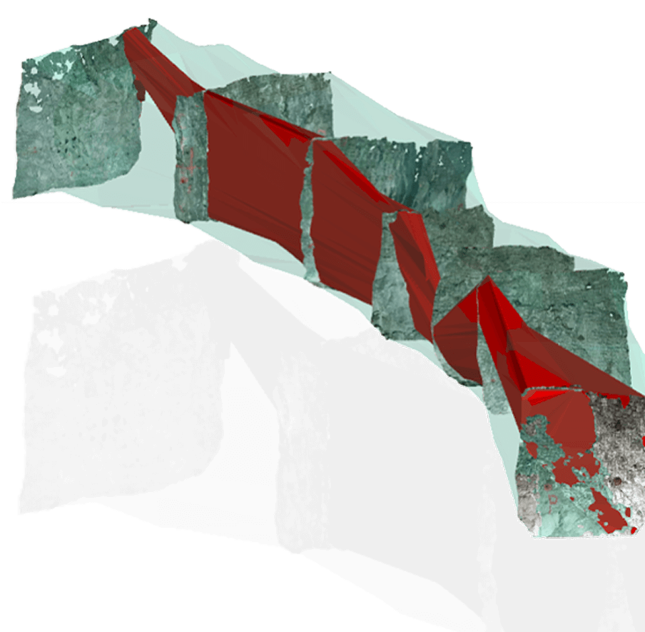
We streamline geological and geotechnical mapping, minimizing human error and ensuring consistent, reliable results.
Our ready-to-use datasets integrate seamlessly with your software, halving integration time.
We simplify point cloud processing, letting your team focus on decisions without needing technical expertise.
Our workflows distill massive datasets into actionable insights, avoiding data overload.
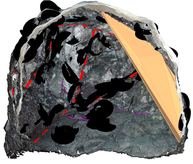
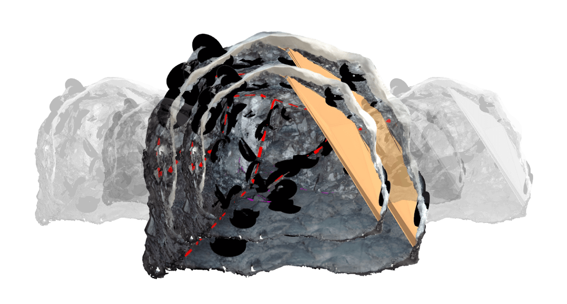
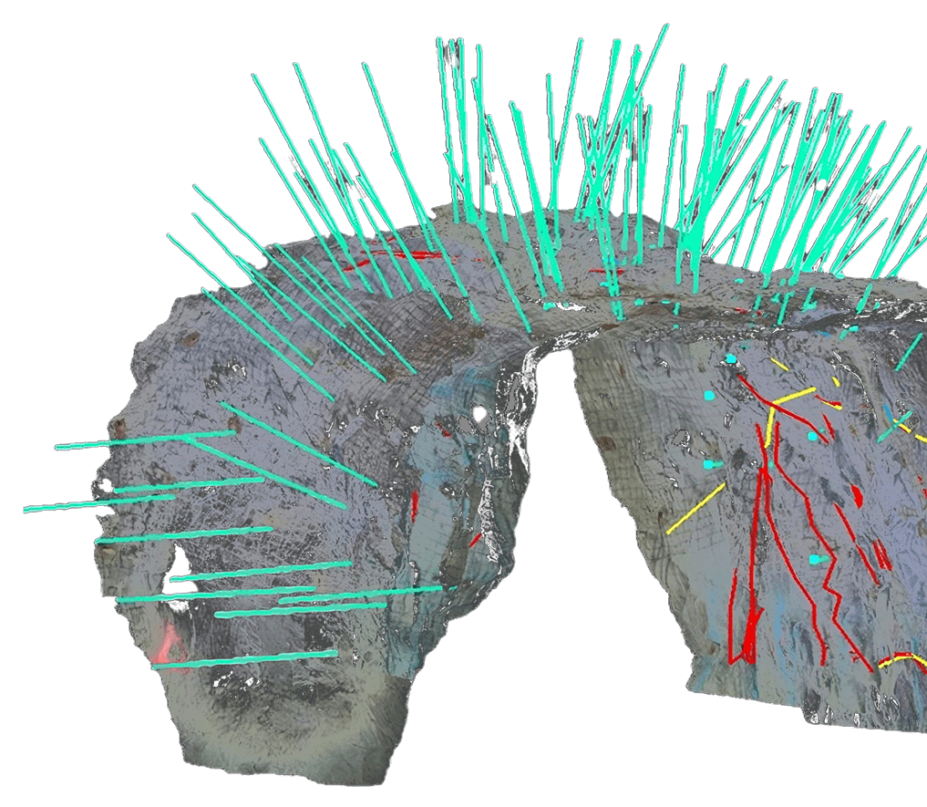
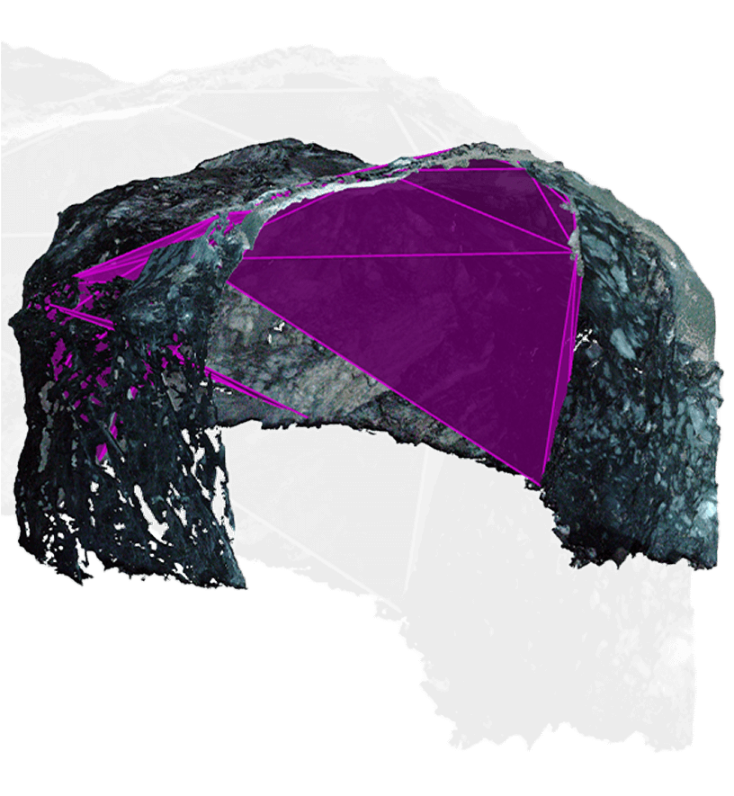
We combine expert mapping with precise 3D analysis to accurately identify critical features like veins and faults.
Quick turnarounds and efficient protocols ensure mapping is ready before deadlines.
Unveiling the Power of Point Clouds
Leapfrog
Seamlessly update your models with structured RockMass data.
Import georeferenced, attributed meshes and polylines directly into Leapfrog for up-to-date geological models.
Deswik Spatial
Streamline mine design with structured geological data.
RockMass delivers ready-to-use datasets for stope design, ground support planning, and ore delineation in Deswik.
Rocsience Dips and Unwedge
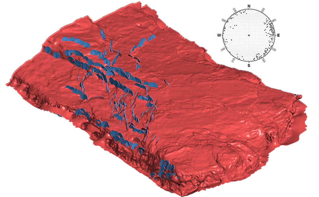
Instantly visualize structural data for geotechnical analysis.
RockMass provides ready-to-use stereographic plots and kinematic inputs in Dips & Unwedge—no manual adjustments needed.
ITASCA FLAC3D & 3DEC
Enhance geomechanical modeling with structured data.
Import georeferenced structural datasets for stress modeling, ground stability, and excavation analysis.
Focus on Decisions, Not Data Processing
Make the underground visible
Stay ahead with our monthly bulletin—get case studies, product updates, and event news.