Map to every Industry-Leading Software:
Streamline your Itasca workflow with precise data processing for faster, more accurate geomechanical simulations.
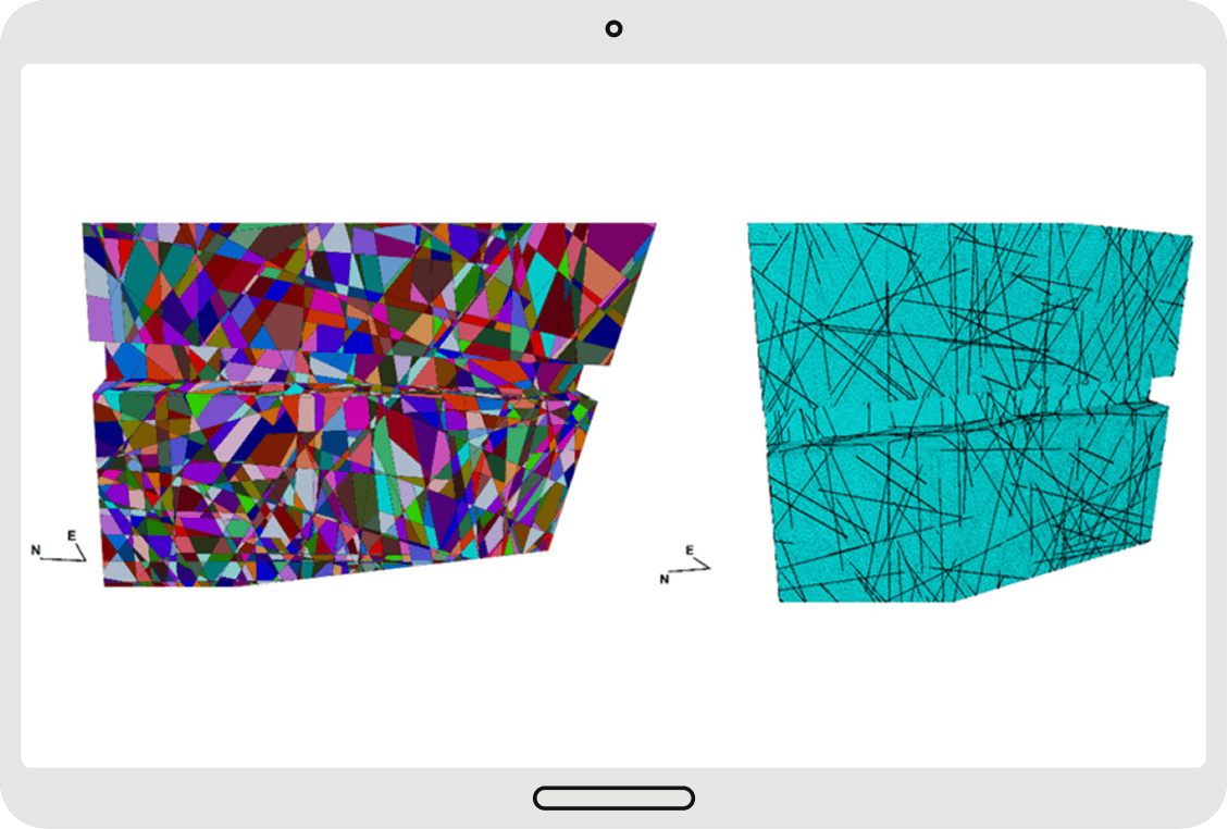
Higher confidence DFN models

Use Cases:
We enable mines to extract meaningful structural data, streamline operations, and drive efficiency in geomechanical modeling.
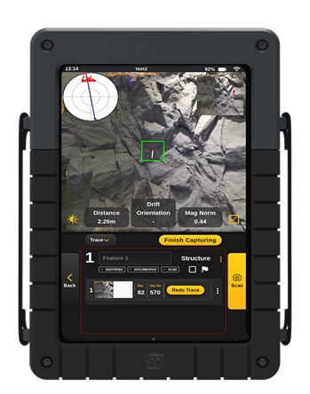
Structural Mapping
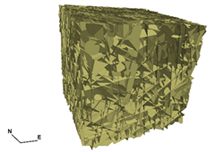
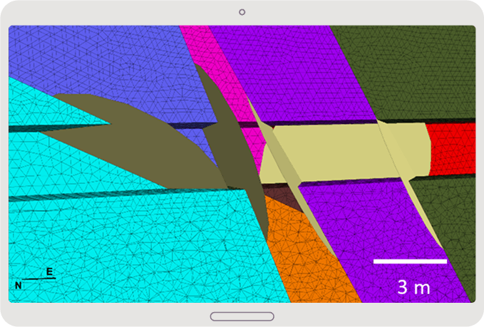
Generate Discrete Fracture Network models with higher confidence using real statistical populations of joint orientations and persistences extracted from digital data.
Resource Definition and Vein Modelling
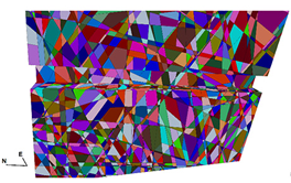
Evaluate excavation geometries within the more realistic synthetic rock mass models
3D Lithological and Alteration Modeling
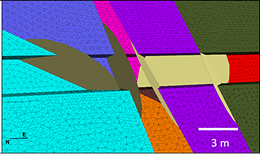
Enable deterministic modelling of fractures at the excavation scale with precise, localized discontinuity data.
Support a broad range of file formats for seamless
compatibility with ITASCA’s FLAC3D & 3DEC,
streamlining geomechanical modelling.
Simplify geotechnical analysis and decision-making
Supported Data Formats:
Solutions
Whether you need reliable 3D data capture solutions or want to transform your point cloud data
into actionable insights for better interpretation and decision-making
Capture accurate, high-quality data for geological modeling with a LiDAR-based mapping tool.
Turn Data into Action
We do the mapping, extraction, and formatting—so you don’t have to
Make the most of your data
End-to-end support to help you make confident decisions with your data into Deswik—ensuring accuracy, efficiency, and minimal effort on your end.
Leapfrog
Seamlessly update your models with structured RockMass data.
Import georeferenced, attributed meshes and polylines directly into Leapfrog for up-to-date geological models.
Deswik Spatial
Streamline mine design with structured geological data.
RockMass delivers ready-to-use datasets for stope design, ground support planning, and ore delineation in Deswik.
Rocsience Dips and Unwedge
Instantly visualize structural data for geotechnical analysis.
RockMass provides ready-to-use stereographic plots and kinematic inputs in Dips & Unwedge—no manual adjustments needed.
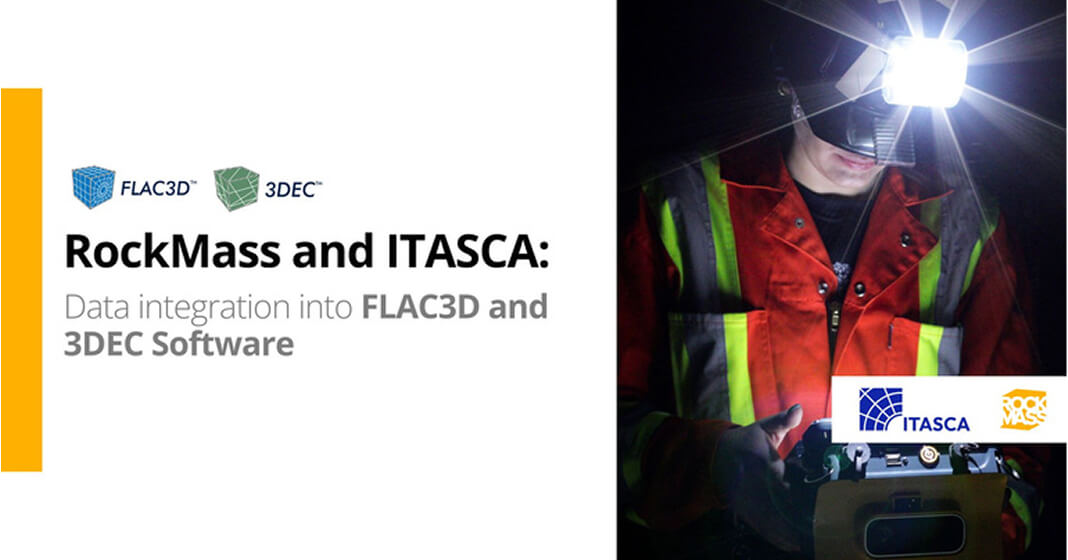
ITASCA FLAC3D & 3DEC
Enhance geomechanical modeling with structured data.
Import georeferenced structural datasets for stress modeling, ground stability, and excavation analysis.
Enhance geomechanical analysis and eliminate inefficiencies in point cloud data processing.
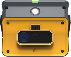
Make the underground visible
Stay ahead with our monthly bulletin—get case studies, product updates, and event news.