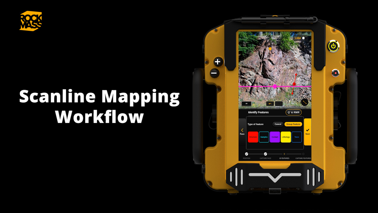
Georeference structural measurements and immediately import them into CAD-based software such as Deswik or Seequent Leapfrog. Our approach to georeferencing is light-weight and takes less than a minute to survey-in.
Learn more by booking a live technical demonstration or update.
Make the underground visible
Stay ahead with our monthly bulletin—get case studies, product updates, and event news.